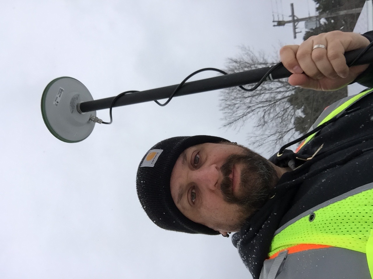
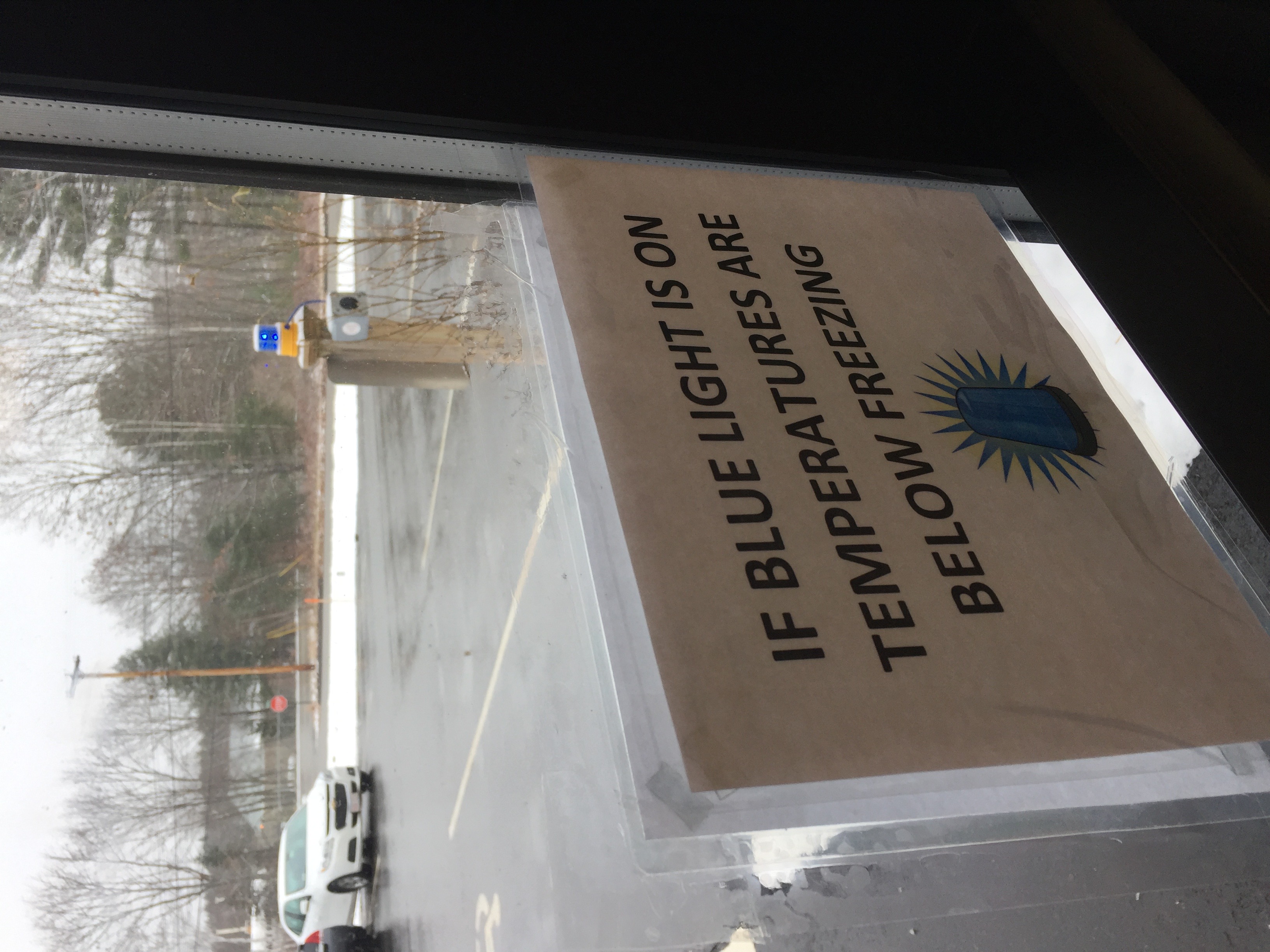
The following is a report that was given to the product team summarizing two visits I made to a customer site. The first visit was to meet with their office based GIS team to understand their mapping environment and how the authoring of maps is done. The second visit was to spend a day with one of their Field Engineers to fully understand their day-to-day workflow and how using the technology will impact them.
In response to a growing need to digitize and geolocate their infrastructure, Maine Natural Gas (MNG) recently hired Corey Dale-Schiller as their in-house GIS Analyst. Being new to the GIS and ArcGIS platform, MNG was eager to explore the potential benefits and capabilities it could offer. As a natural gas services provider serving communities in Maine since 1998, the company had an urgent deadline imposed by the state to meet new regulations regarding the digitization of their infrastructure.
During the on-site user research visit, the primary focus was on understanding MNG's specific requirements and challenges, as well as how the implementation of GIS and ArcGIS could facilitate their workflow. The company expressed excitement about the possibilities that this technology could unlock for them.
MNG's immediate plan was to utilize Collector for ArcGIS as an instrumental application to quickly comply with the state's regulations. This tool would enable them to efficiently gather and map data on their infrastructure. With the information seamlessly integrated into a digital platform, MNG would have the ability to access, update, and analyze their data in real-time, ultimately streamlining their operations and decision-making processes.
After the successful deployment and integration of Collector, MNG had plans to incorporate Workforce for ArcGIS into their workflow. This addition would further enhance their operational efficiency by enabling better communication, coordination, and task assignment among field personnel, ensuring that resources were utilized optimally.
Throughout the research visit, the GIS Analyst, Corey Dale-Schiller, was closely involved in the discussions and demonstrations. By understanding the specific needs and goals of MNG, Corey could better tailor the GIS solutions to fit the company's requirements.
Overall, the customer and on-site user research visit at Maine Natural Gas proved to be fruitful. The company's eagerness to explore the potential of GIS and ArcGIS, coupled with the expertise of their new GIS Analyst, showed promise for the successful implementation and integration of these technologies. As a result, MNG could not only meet the state's regulatory deadline but also enhance their infrastructure management and decision-making capabilities for the future.
The Maine Public Utilities Commission recently introduced new regulations mandating Maine Natural Gas (MNG) to collect and store data on all new pipeline installations in a GIS, effective January 1, 2017. This includes geolocation information for each pipeline.
Previously, MNG relied solely on AutoCAD maps with limited georeference data. To comply with the new requirements, they engaged an external firm to assist in converting all their asset data from AutoCAD to a GIS.
Following the retirement of their mapper, MNG made a strategic decision to hire Corey, their first and only GIS Analyst. With Corey's background in CAD skills, he was deemed a valuable asset in facilitating a smooth transition from the old system to ArcGIS, making the process more manageable for the company.
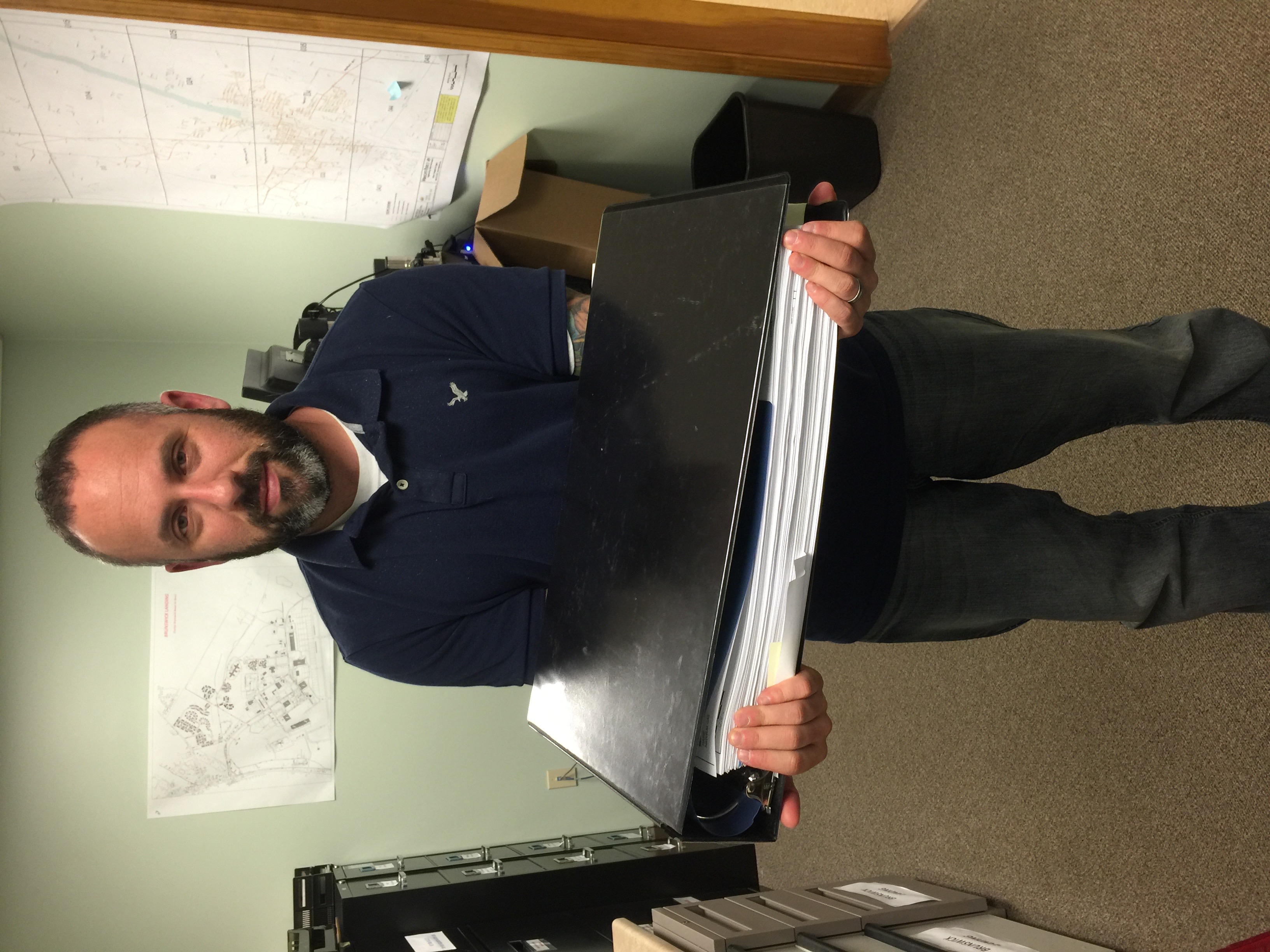
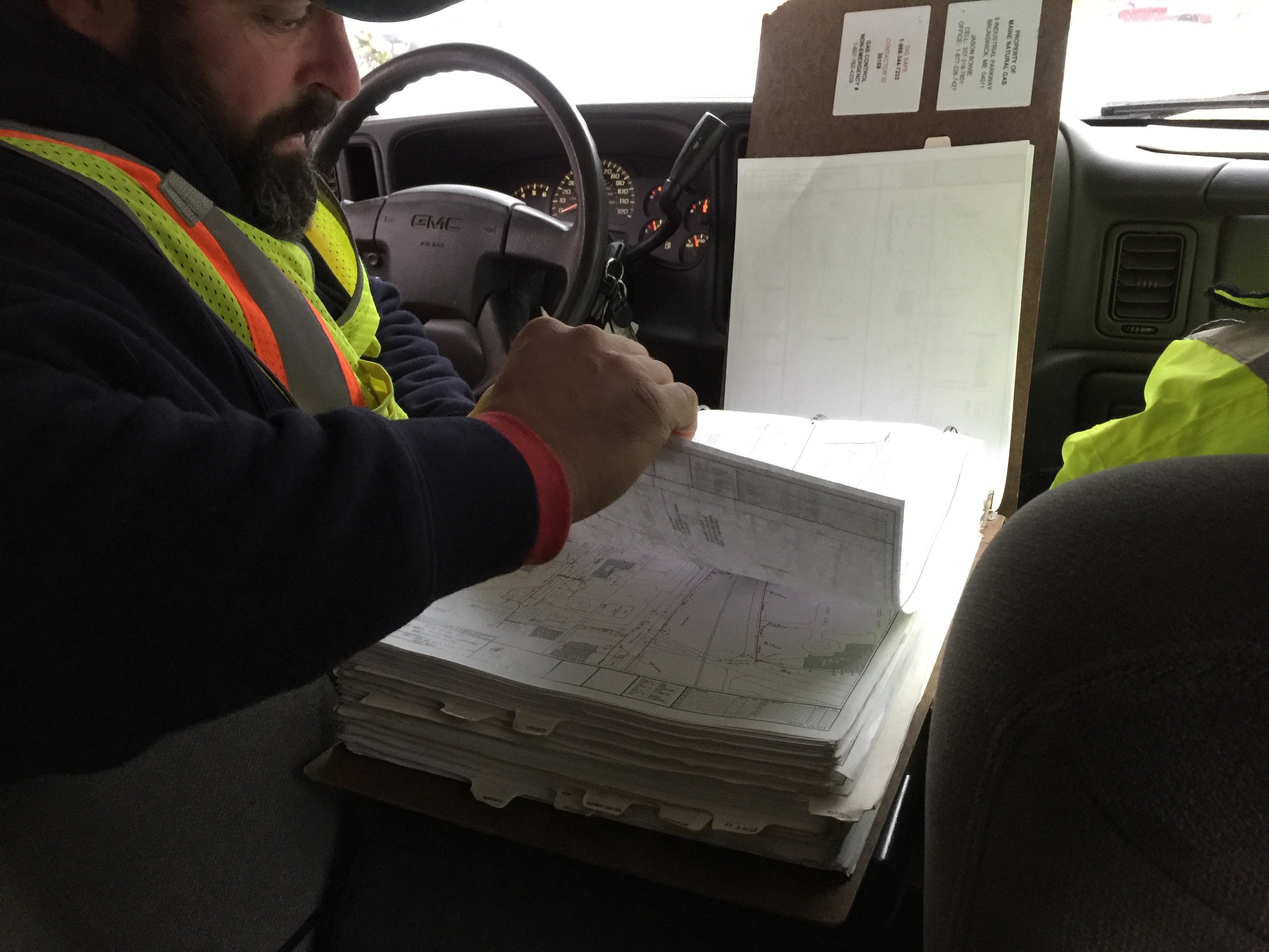
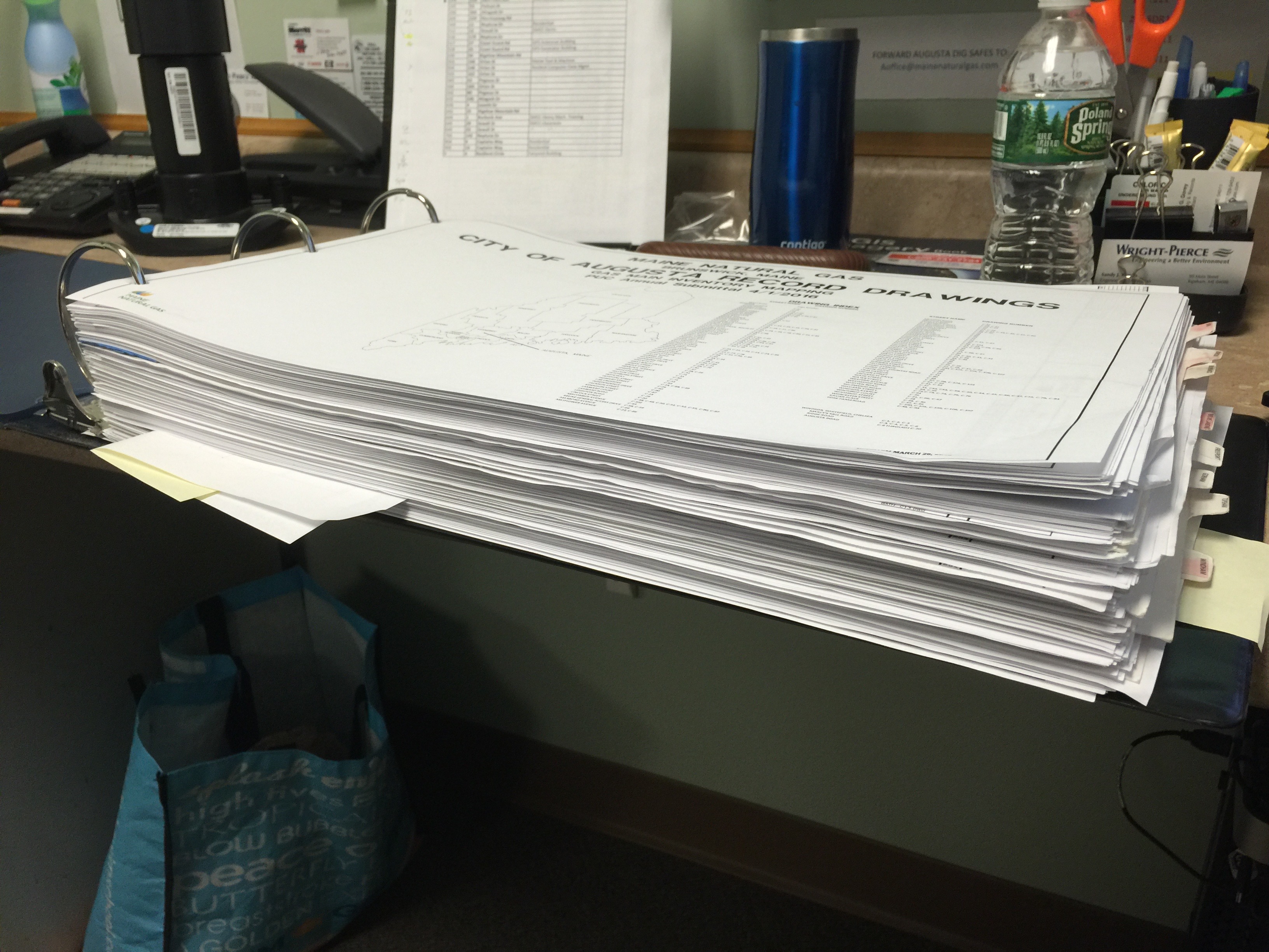
At present, each gas technician at MNG carries a map book and a laptop in their vehicles. These map books consist of hundreds of print and PDF maps that cover MNG's service areas.
When installations or map changes are required, the technicians make notes on the paper maps and submit them to the GIS analyst. The analyst updates the AutoCAD file accordingly, prints multiple copies of the updated map in various sizes, and distributes them to the technicians responsible for updating their map books. Additionally, a PDF file is generated and shared among the technicians to update the local folder of PDF maps on their laptops.
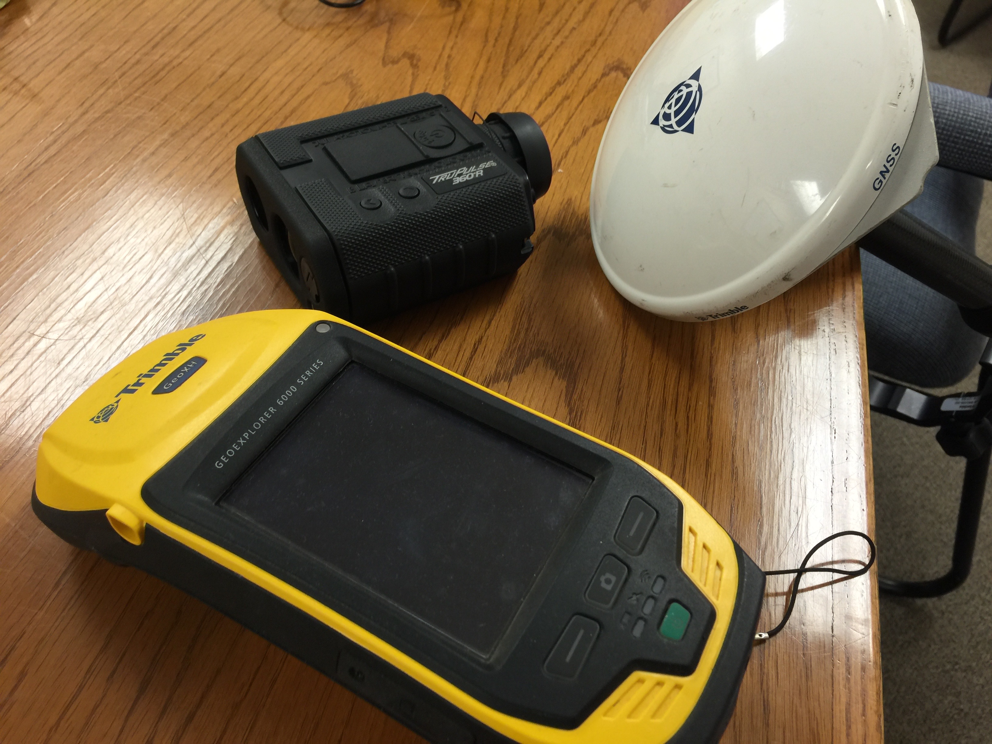
For data collection, MNG uses Trimble GeoExplorer 6000 Series devices. However, the personnel find the device's interface and workflow frustrating. After data collection in the field, the devices are returned to the GIS analyst, who extracts and processes the data. Although Trimble Zephyr antennas are available, they are seldom used, as the technicians primarily rely on the built-in antennas.
Recently, Maine Natural Gas (MNG) upgraded from a basic ArcGIS Online subscription to a standard license for ArcMap Desktop and Pro. After discussing with Corey, the GIS Analyst, we concluded that integrating Collector for ArcGIS into their workflow would be highly advantageous to meet the new regulations and improve efficiency.
Replacing the cumbersome Trimble units' interface with Collector will be a welcomed change. This app, seamlessly feeding data into their GIS, not only ensures compliance with regulations but also streamlines data processing workflows.
During our conversation, I briefly spoke with their salesman, who had prior experience using Collector at a previous job. He used the app to collect points for potential new service fill-ins while walking through neighborhoods. Although he hasn't been part of the discussions on transitioning to Collector, he expressed excitement about using it again, as it eliminates the need to carry maps, pens, and highlighters during fieldwork.
Currently, work management at Maine Natural Gas (MNG) relies on a paper-based process. Each morning, technicians receive a stack of job forms and gather the necessary parts for each assignment before heading out for the day's work. If they require additional jobs, they have to return to the shop to collect new job forms.
During my visit, I provided a quick demo of Workforce and its seamless integration with Collector, which left everyone thoroughly impressed. They are excited about using Workforce once they have fully integrated Collector into their workflow by the 1st of the year.
Although not explicitly discussed, based on my observations, it seems that Maine Natural Gas (MNG) could greatly benefit from transitioning to Navigator for ArcGIS. This move would eliminate the need for paper map books and provide technicians with convenient access to the latest files. Navigator offers search capabilities and even enables offline access to maps, addressing concerns about 'going digital.' This integration could significantly enhance their workflow and increase efficiency for field operations.
After meeting with the team, I joined Corey as he explored Collector and Workforce for the first time. With minimal guidance and a few instances of starting over, he managed to create basic Workforce and Collector projects by the afternoon. I observed as he set up assignments for himself in the parking lot and assumed the role of a field worker, initiating jobs, collecting data, and completing the tasks. Corey quickly grasped the functionalities of both tools and showed promising progress in their integration.
During my observation, I noticed some concerns among workers regarding giving up their map books due to fears of electronic forms crashing. It was also revealed that one technician relies solely on the PDFs and doesn't update the map book regularly.
Another concern arose regarding the Location Tracking feature in Workforce. Technicians expressed uncertainty about how they would feel about this feature. However, since integration is not expected until next year, there is ample time to address and resolve these issues properly.
Highlighted points from the observations:
Usability Observations:
Additionally, Corey has been requested to maintain a journal to record other instances of getting stuck, feeling frustrated, or general observations about the user interface flows. This journal will help identify further usability issues and areas of improvement.
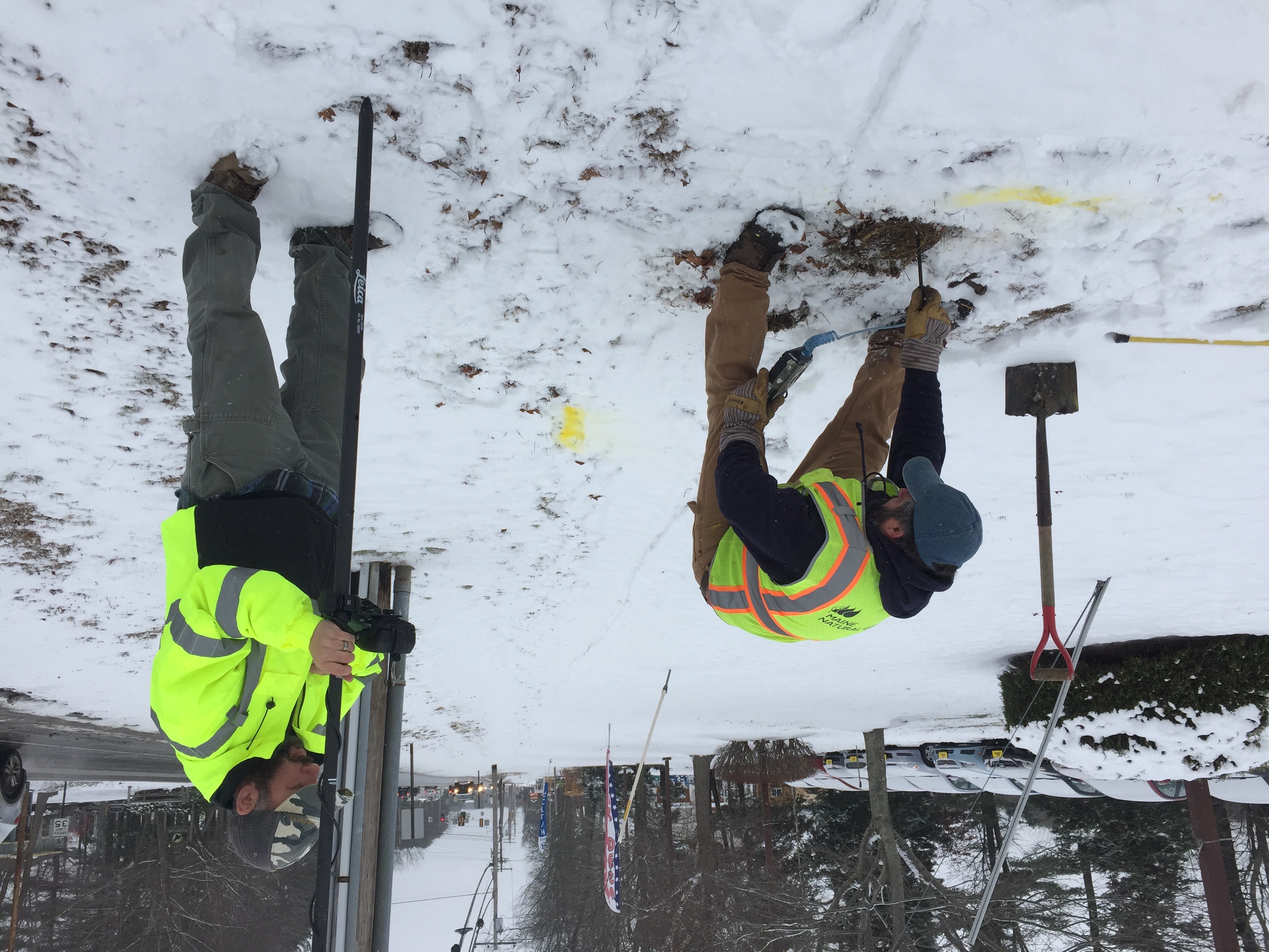
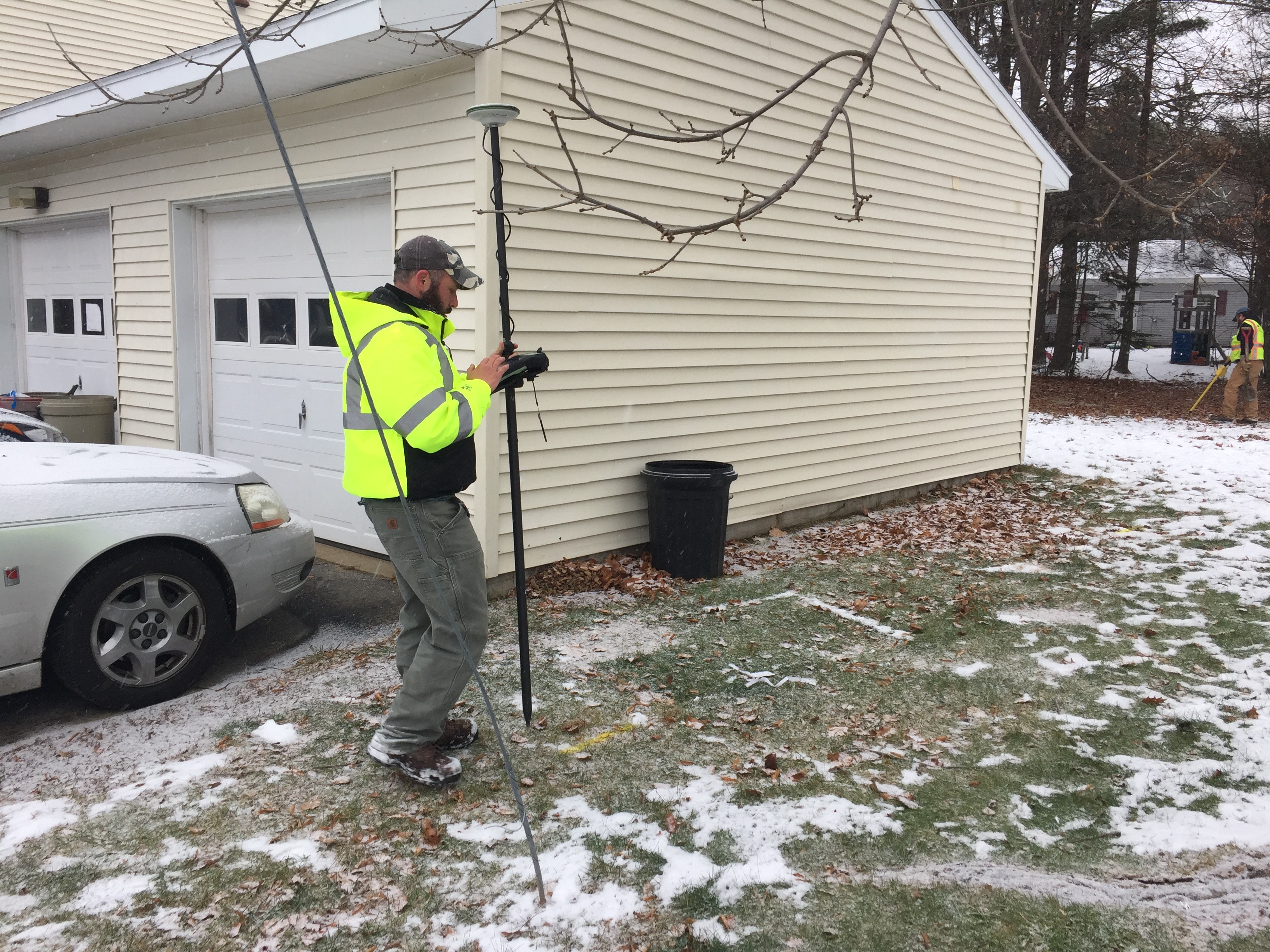
During the fieldwork, the Field Engineer, possessing valuable institutional knowledge, collaborated with the GIS Analyst to locate and map gas line valves. To begin, the power box was attached to the tracer wire at the house for each assignment. The Engineer would then mark the line, and together, they attempted to locate buried valve boxes. Once the valve box was found, the Analyst documented its condition and took photographs. If a valve box couldn't be located precisely, an approximate location was recorded. In both cases, Survey123 was used to collect the information, enabling the dispatcher in the office to assign work to other contractors for "dig and verify" tasks for the unfound valves.
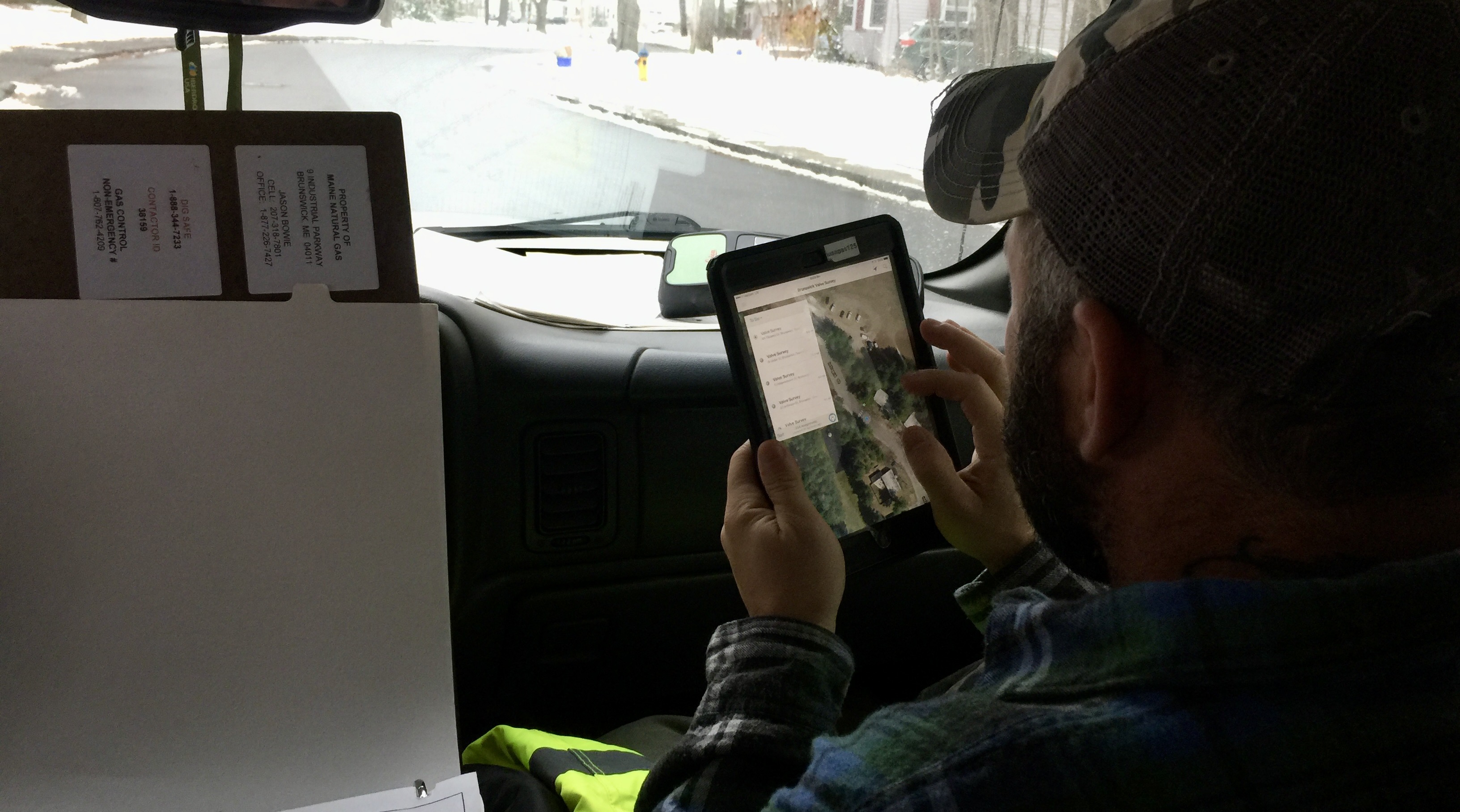
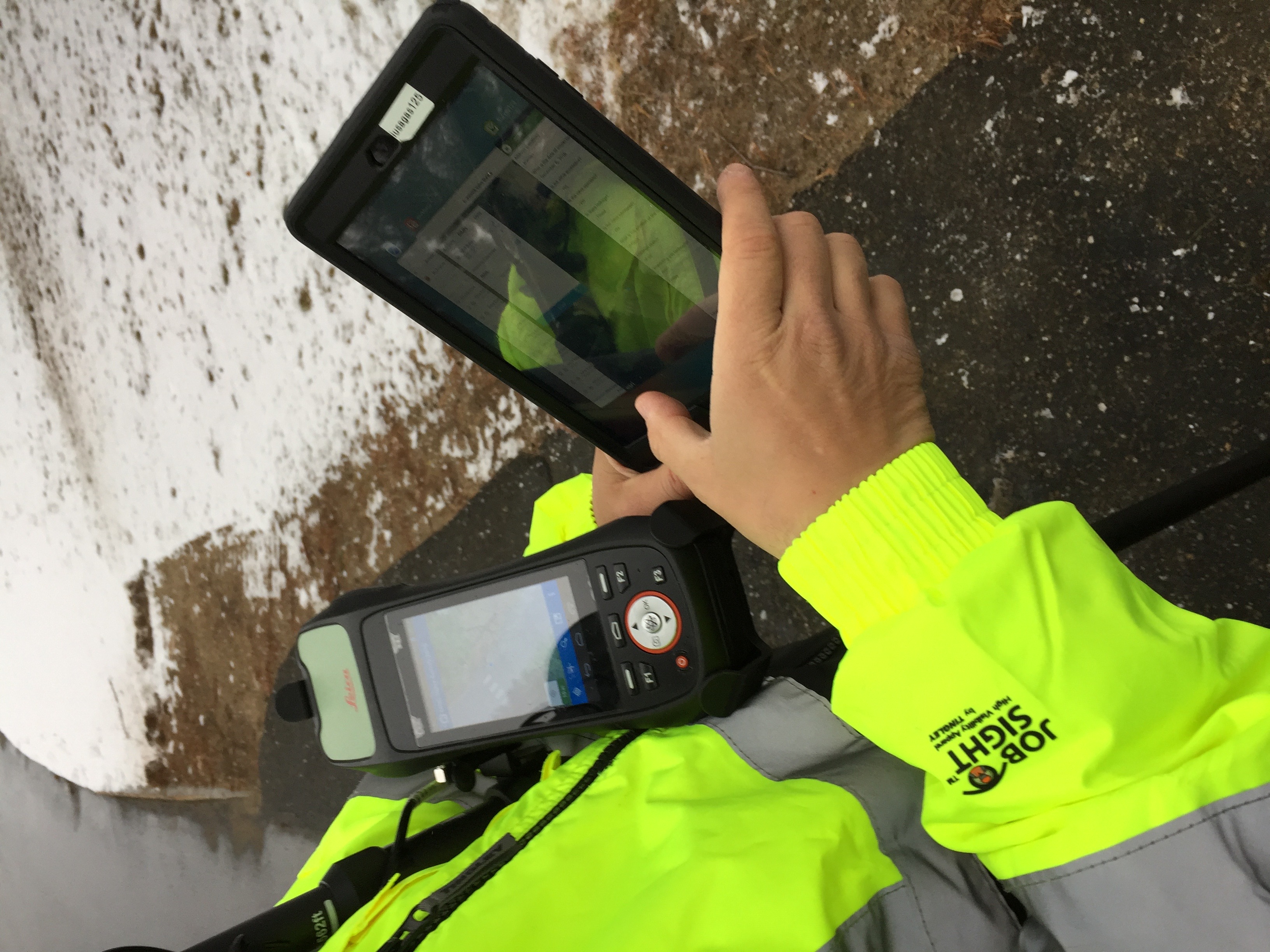
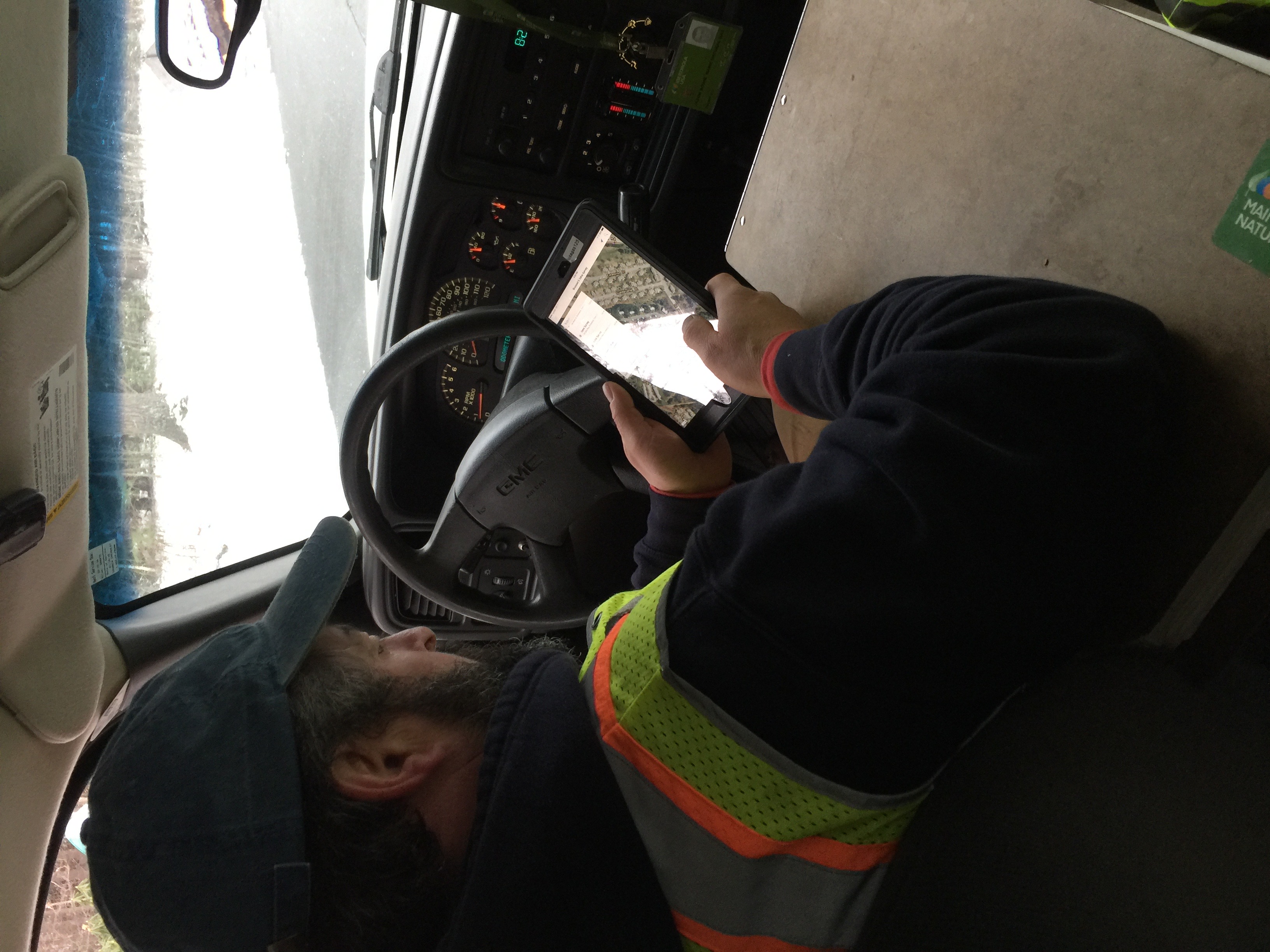
The customer utilized the Leica device, utilizing the built-in Android interface for running Collector, coupled with an external antenna. Workforce and Survey123 were operated on an iPad within a rugged case. While Workforce assignments were integrated with both Survey123 and Collector, this feature was only accessible when using the iPad.
One observed issue was that between jobs, while driving to new locations, the devices would power down, leading to delays during signal and satellite acquisition, which sometimes caused the Analyst to fall behind the Engineer. As a result, the Analyst had to rush to keep up with the fieldwork progress.
In adverse weather conditions, the screens would become wet from melting snow, despite being protected in waterproof casings. Consequently, the interface didn't respond adequately to touch due to the presence of water on the screen. The Analyst initially used his hand to wipe the screen, but this inadvertently caused the apps to enter unintended states. To address this, the Analyst started using a paper towel, wiping carefully to avoid triggering unintended touch commands.